

Boundary Stakeouts (K-1 & K-2)
This service fulfills the requirements in section K-1 or K-2 of the Purchase Contract. Required any time the property is sold.

Elevation Certificates
An elevation certificate is required when the owner is seeking flood insurance through the National Flood Insurance Program.

Shoreline Certifications
Shoreline Certifications are generally required when property shares a boundary with shoreline and building setbacks are needed for a new structure.

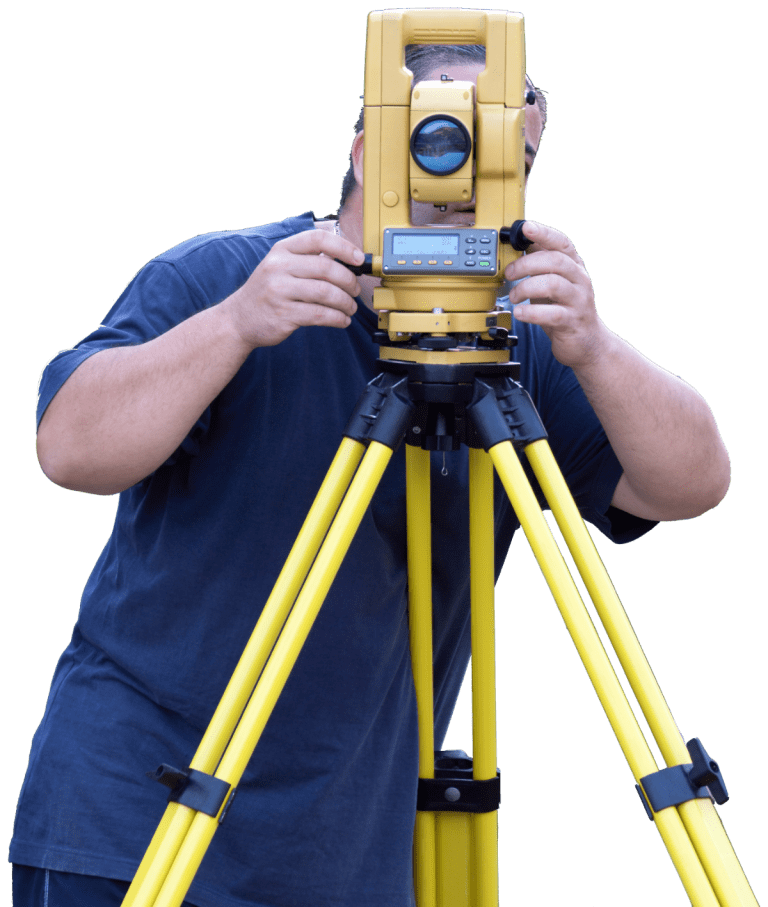
Topographical Surveys
A topographical survey measures ground elevations which are used to generate a topographical map, which also shows existing features on a map.

Subdivision and Consolidation
A subdivision is created when a lot is divided into two or more smaller lots. A consolidation is created when two or more lots are joined to make one larger lot.

ALTA Surveys
An ALTA Survey is typically requested when commercial property is being transferred to ensure that there are no defects associated with the title.

Condominium Property Regimes
Condominium Property Regimes (CPR’s) are a form of ownership of real property and governing process created when the real property becomes a condominium.

Construction Stakeouts
Construction stakeouts can range from setting out a single family residence to large subdivisions, roads, and utilities.

Cell Tower Surveys
These types of surveys are done on existing communication tower compounds to create easements or new builds.

FAA 1-A Certifications
This type of survey is needed when the location and height above sea level is needed for a structure, usually done on towers.

Bathymetric Surveys
Measuring and mapping water bodies, shorelines and beaches is essential to keeping coastal resources viable and safe.

Aerial Drone Surveys
Drones are useful in collecting data for large, restricted or unsafe areas, and can improve cost effectiveness.